
Boat Navigation Systems: Safer Routes for Modern Vessels
Boat navigation systems help captains understand vessel position, surrounding hazards, nearby traffic, water depth, weather conditions, and route planning in real time.
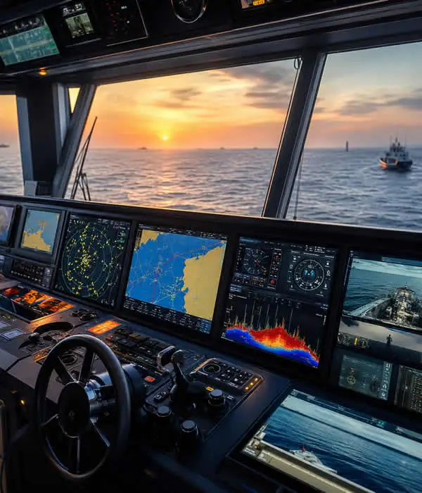
Boat Navigation Systems
A properly designed system may include:
- GPS
- Electronic charts
- Chartplotters
- Radar
- AIS
- Depth sounders
- Sonar
- Autopilot
- Cameras
- Integrated marine networking
The best boat navigation systems are not built around a single display or brand name. They are built around how the vessel actually operates.
A center console running offshore fishing routes has very different navigation requirements than a cruising yacht, sportfish vessel, or charter operation.
The real goal is not adding electronics.
The goal is reducing uncertainty at the helm.
Need a navigation system designed around your vessel and operating style?
Request a professional marine navigation consultation →
What a Professional Navigation System Delivers

Situational Awareness
Know where the vessel is, what hazards are nearby, and how conditions are changing. Integrated charts, radar, AIS, and depth data provide a clearer operational picture at the helm.

Integrated Navigation Technology
Connect GPS, chartplotters, radar, AIS, sonar, autopilot, and onboard networking into a single navigation environment that is easier to operate and monitor.

Safer Decision-Making
Better information leads to better decisions. A properly designed navigation system helps reduce uncertainty during offshore passages, poor visibility, busy waterways, and unfamiliar routes.
Why Boat Navigation Systems Matter
Most navigation problems do not happen because electronics are unavailable.
They happen because systems are incomplete, poorly integrated, improperly installed, or difficult to interpret under real operating conditions.
Modern vessels operate in increasingly demanding environments:
- Busy inlets
- Commercial traffic
- Poor visibility
- Night operation
- Shallow channels
- Offshore routes
- Weather changes
- Unfamiliar waterways
Good navigation systems improve situational awareness.
That means captains can make better decisions earlier instead of reacting late.
A properly integrated system helps with:
- Route planning
- Real-time vessel positioning
- Collision awareness
- Bottom tracking
- Traffic monitoring
- Offshore navigation
- Night operation
- Weather interpretation
- Safer docking and approaches
Navigation electronics should support seamanship, not replace it.
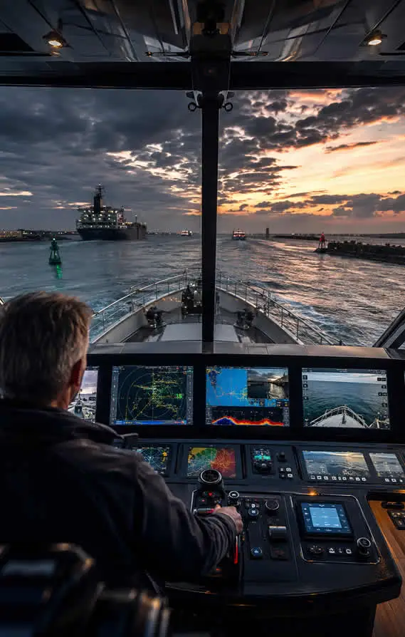

Marine Navigation Electronics
Marine navigation electronics include the displays, sensors, antennas, processors, and networking hardware that support navigation and vessel awareness.
Common systems include:
- Multifunction displays
- GPS antennas
- Radar scanners
- AIS transceivers
- Sonar modules
- Heading sensors
- Autopilot processors
- Network switches
- Remote monitoring systems
The best marine electronics package depends entirely on how the vessel operates.
For example:
- Offshore fishing boats often prioritize sonar, radar, and fast chart response
- Cruising yachts usually prioritize route planning, autopilot integration, and redundancy
- Sportfish vessels may require radar overlay, multiple helm displays, and thermal cameras
- Charter operations often need reliability, backup systems, and simplified operation
The mistake many owners make is choosing products individually instead of designing the entire navigation architecture first.
Integrated Boat Navigation Systems
An integrated boat navigation system connects all major helm systems into one coordinated operating environment.
Instead of isolated devices, the vessel operates through a unified marine network.
Integrated systems may combine:
- GPS
- Radar
- AIS
- Sonar
- Autopilot
- Cameras
- Engine monitoring
- Satellite weather
- LTE/5G connectivity
- Starlink integration
- Remote vessel monitoring
The operational advantage is clarity.
Captains can interpret vessel data faster because information is centralized instead of scattered across disconnected devices.
Good integration reduces:
- Helm clutter
- User confusion
- Switching between screens
- Duplicate hardware
- Network instability
The larger and more complex the vessel becomes, the more important integration architecture becomes.
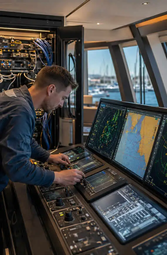
What Are Boat Navigation Systems?
Boat navigation systems are the electronic systems used to monitor, guide, and manage vessel movement.
Depending on the vessel, the system may include:
| Component | Primary Function |
|---|---|
| GPS | Determines vessel position |
| Electronic Charts | Displays waterways, markers, hazards, and depths |
| Chartplotter | Combines GPS and chart data |
| Radar | Detects vessels, land, rain, and obstacles |
| AIS | Identifies nearby equipped vessels |
| Depth Sounder | Measures water depth beneath the vessel |
| Sonar | Displays bottom structure and underwater targets |
| Autopilot | Maintains heading or follows routes |
| Cameras | Adds visibility around the vessel |
| Marine Networking | Connects onboard systems together |
Basic boats may only require a chartplotter and depth sounder.
Offshore vessels and yachts often require layered systems with redundancy, radar integration, AIS, autopilot, backup displays, and onboard networking. The more demanding the operating environment becomes, the more system design matters.
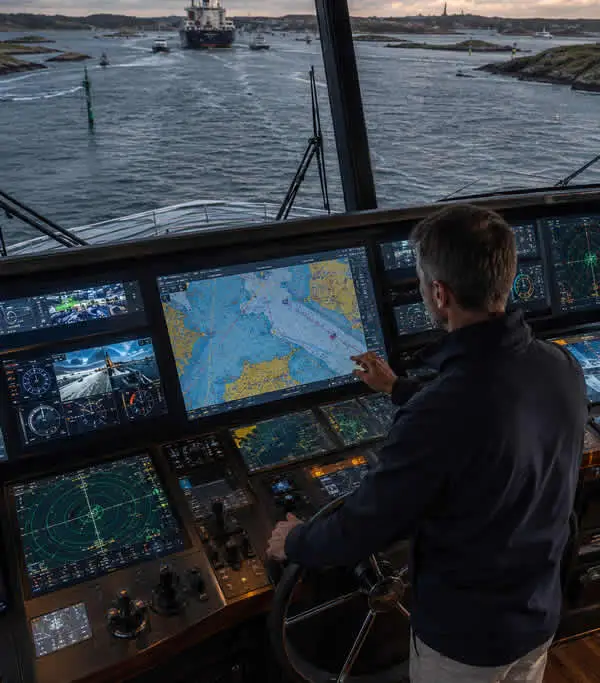
Boat Navigation Systems: Autopilot Systems
Autopilot systems help vessels maintain heading and follow planned routes with greater steering consistency.
They are particularly valuable during:
- Long offshore passages
- Extended cruising
- Fishing patterns
- Repetitive routes
- Heavy steering conditions
Properly configured autopilot systems reduce helm fatigue and improve long-distance operating comfort.
However, autopilot performance depends heavily on:
- Accurate heading data
- Proper calibration
- Steering system compatibility
- Correct installation
- Sea trial tuning
Poor autopilot installations are extremely common. An improperly calibrated autopilot can create constant steering corrections, route instability, and operator frustration. Autopilot supports the captain. It does not replace the captain.
Radar for Safer Boat Navigation Systems
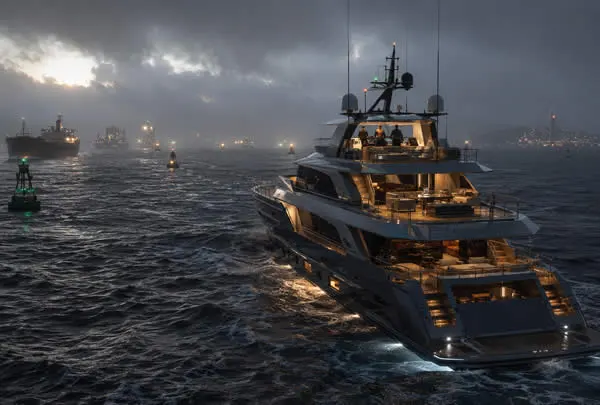
Radar becomes increasingly important as visibility decreases and operating complexity increases.
Radar allows captains to identify:
- Land masses
- Commercial traffic
- Rain cells
- Buoys
- Shorelines
- Moving targets
- Navigation hazards
Radar is especially valuable during:
- Night operation
- Offshore travel
- Fog
- Heavy rain
- Low-visibility approaches
- Busy waterways
Modern marine radar systems can overlay directly onto electronic charts, making target interpretation faster and more intuitive.

When Radar Stops Being Optional
For occasional daytime inland boating, radar may not be necessary.
For vessels operating:
- Before sunrise
- After sunset
- Offshore
- In poor weather
- Near commercial traffic
- In unfamiliar areas
Radar becomes a major operational safety tool.
AIS and Traffic Awareness
AIS (Automatic Identification System) allows vessels to see and identify nearby AIS-equipped traffic.
AIS can display:
- Vessel name
- Speed
- Heading
- Course
- Closest point of approach
- Vessel type
This becomes extremely useful near:
- Shipping lanes
- Ports
- Bridges
- Offshore routes
- Commercial traffic corridors
Modern marine radar systems can overlay directly onto electronic charts, making target interpretation faster and more intuitive.
There are two primary AIS configurations:
| AIS Type | Function |
|---|---|
| AIS Receiver | Receives nearby AIS vessel data |
| AIS Transceiver | Receives data and broadcasts your vessel position |
AIS improves awareness but should never replace radar or visual watchkeeping. Not every vessel transmits AIS. Safe navigation always requires layered awareness.

Recommended Boat Navigation Systems by Vessel Type
| Vessel Type | Recommended System |
|---|---|
| Small Bay Boat | GPS chartplotter + depth sounder |
| Center Console | Chartplotter + sonar + AIS + radar option |
| Sportfish Boat | Dual displays + radar + sonar + autopilot |
| Cruising Yacht | Integrated chartplotter + AIS + radar + autopilot |
| Charter Vessel | Redundant navigation displays + AIS + radar |
| Offshore Yacht | Full integrated navigation architecture with backup systems |
The farther the vessel travels and the more demanding the operating environment becomes, the more important redundancy and integration become.
FAQs: Boat Navigation Systems
⭐ What are boat navigation systems?
Boat navigation systems are electronic systems that help captains monitor vessel position, route planning, traffic, depth, and surrounding hazards.
⭐ What is the most important navigation system on a boat?
For most recreational vessels, the chartplotter with updated electronic charts is the primary navigation tool.
⭐ Do I need radar on my boat?
Radar becomes increasingly important for offshore travel, nighttime operation, fog, rain, commercial traffic areas, and poor visibility conditions.
⭐ Is AIS necessary for recreational boats?
AIS is not mandatory for many recreational vessels, but it significantly improves traffic awareness in busy waterways and offshore routes.
⭐ What is an integrated boat navigation system?
An integrated system connects radar, AIS, autopilot, sonar, charts, and vessel data into one coordinated marine electronics network.
⭐ Can a tablet replace a chartplotter?
Tablets work well as backup or planning tools, but they should not replace dedicated marine navigation hardware on serious vessels.
⭐ How often should charts be updated?
Electronic charts should be updated regularly, especially before offshore passages or travel through unfamiliar waterways.
⭐ Which brand makes the best boat navigation systems?
Garmin, Furuno, Simrad, Raymarine, and B&G all manufacture capable systems. Proper design, installation, and integration usually matter more than the logo on the display.
Garmin, Furuno, Simrad, Raymarine, and B&G all manufacture capable systems. Proper design, installation, and integration usually matter more than the logo on the display.

Key Takeaways: Marine Internet Solutions
- Boat navigation systems improve awareness, route planning, and operational safety
- Modern systems often combine GPS, charts, radar, AIS, sonar, and autopilot
- Integration matters more than individual hardware selection
- Radar and AIS significantly improve situational awareness
- Navigation systems should be designed around vessel operation, not marketing claims
- Autopilot systems require professional calibration and setup
- Good helm design includes redundancy and future expansion planning
- Electronics support seamanship but do not replace it
Request a professional helm and marine electronics consultation Get a quote →